
The PEOPLE-ECCO project continues to advance its mission of developing Earth observation tools for conservation through Hatfield's collaboration with IUCN.
This partnership focuses on creating an innovative monitoring system to detect land cover changes in the mountains of north-west Vietnam, where improvements in farming practices could reverse the degradation of ecosystem services.
Marcos Kavlin-Castaneda, representing Hatfield in the PEOPLE-ECCO consortium, recently visited Vietnam to strengthen this collaboration and witness these landscapes firsthand.
About IUCN  IUCN has worked in Vietnam since the early 1990s, supporting biodiversity conservation and sustainable natural resource management. IUCN Vietnam focuses on nature-based solutions for watershed management, forest restoration, and climate resilience, with particular expertise in transboundary river basin cooperation. |
Uncovering endangered river basins
IUCN, an early adopter in the PEOPLE-ECCO project, has identified an urgent need to assess deforestation linked to corn and cassava cultivation expansion in river basins, as well as progress being made to expand agroforestry systems that improve ecosystem services.
The challenge is particularly relevant on steep slopes where expansion of corn, cassava, and other annual crops increases potential for flash floods and soil erosion risks that can impact aquatic ecosystems. In response, the Son La provincial government has implemented policies incentivizing farmers to transition from annual crops to agroforestry systems that stabilize soil and retain water.
Hatfield’s visit provided key insights
The tool being developed by Hatfield aims to provide information to help IUCN "assess changes in ecosystem services related to water management, flood and drought risk reduction, soil and water conservation, as well as flood protection," explains Kavlin-Castaneda. This tool explicitly targets the detection of land-use transitions.
Technical innovation with seasonal trend analysis
The monitoring system uses dense Sentinel-2 satellite time series, processing nearly every available image within monthly composites over five-year periods. At its core, it is an algorithm that is robust to seasonal variations, revealing underlying land cover changes.
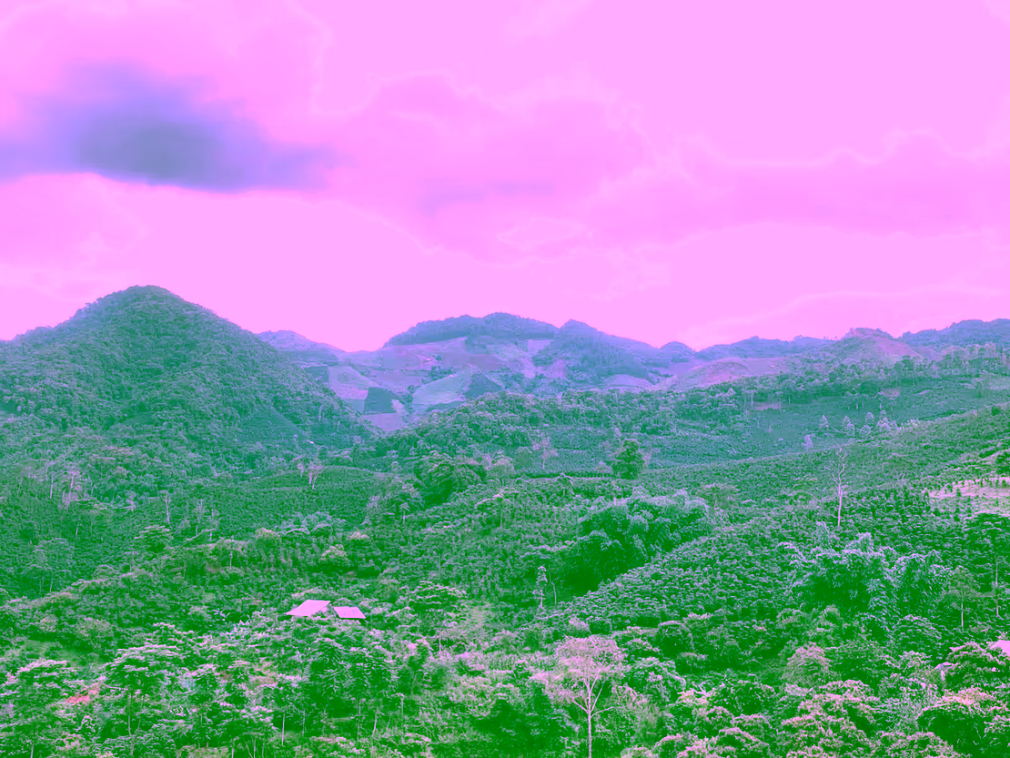
Son Lao Province, northern Vietnam
Using spectral indices, the algorithm aims to detect increases in woody vegetation indicating agroforestry adoption.
A trip for field validation
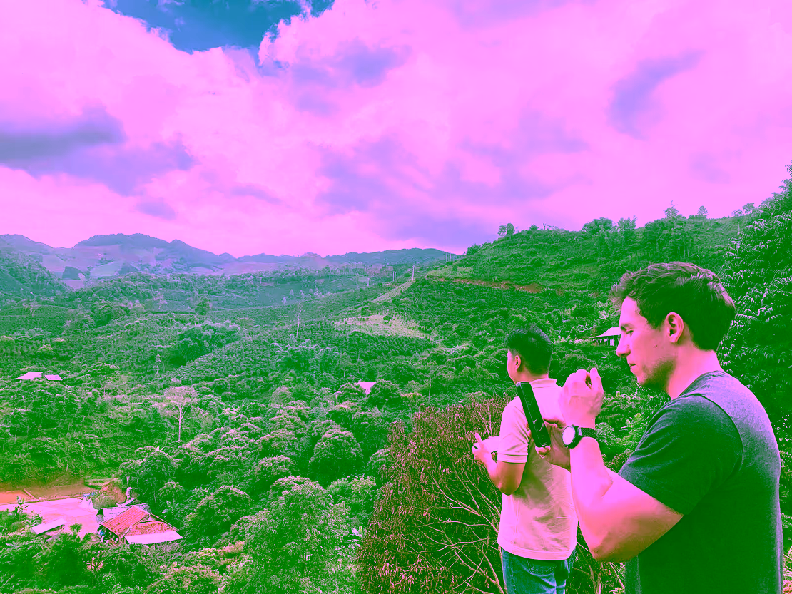
The Vietnam field visit proved invaluable for tool calibration and validation of a proof of concept. "Seeing how dynamic the landscape is, and how steep some of the slopes are where deforestation has occurred," was crucial for Kavlin-Castaneda. Direct observation and conversations with local farmers allowed the team to correlate satellite-detected changes with the reality on-site.
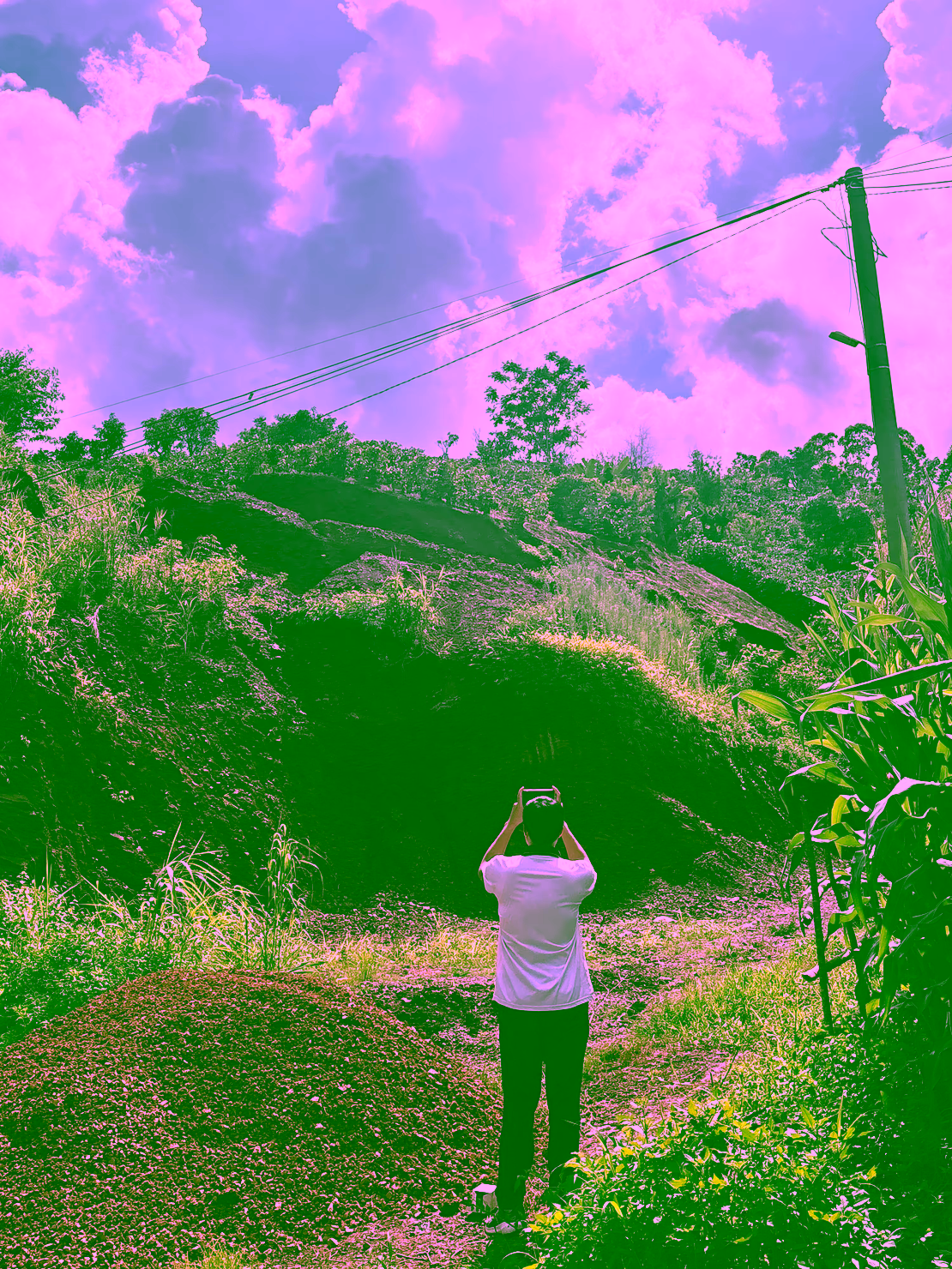
Collecting information on a slope
"It's hard to truly understand how steep a slope is solely from the satellite data," Kavlin-Castaneda reflects. The visit also facilitated face-to-face discussions with IUCN staff about integrating the tool into their existing workflows.
Scaling for impact
While developed specifically for IUCN's immediate needs, the tool's flexibility extends beyond Vietnam. "It's a relatively flexible tool that we aim to use with other Early Adopters, such as the Bulgarian Society for the Protection of Birds or the Lebanon Reforestation Initiative," Kavlin-Castaneda explains. Hatfield will aim to integrate this tool into OpenEO to address the scalability challenge, which will package the tool for easy deployment across large landscapes.
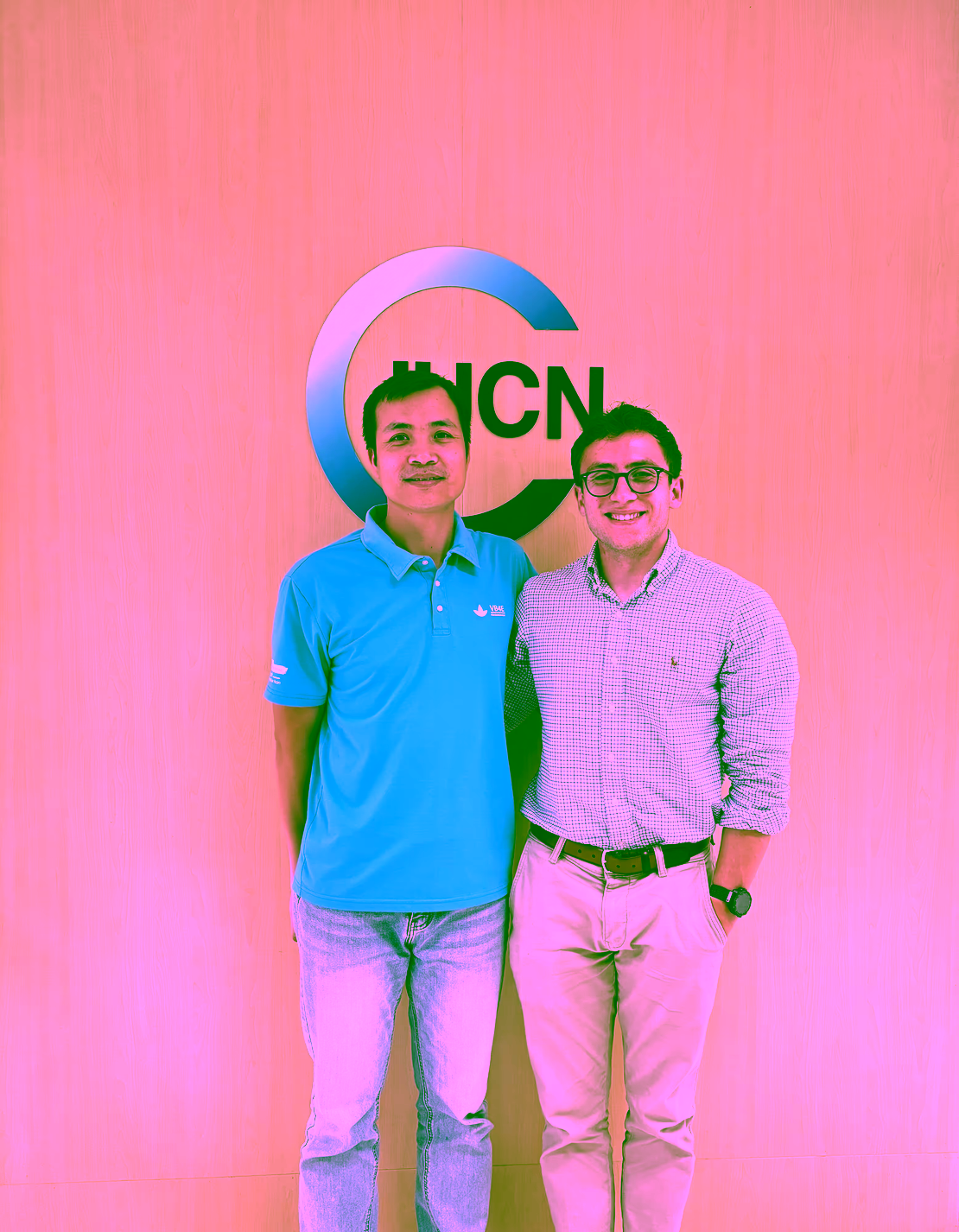
Manh Le Van from IUCN (left) with Marcos Kavlin-Castaneda from Hatfield (right)
This project has progressed from initial requirements gathering through current small-scale testing, with large-scale demonstrations planned for early 2026. Knowledge transfer sessions with early adopters will follow soon.
As Kavlin-Castaneda shares, "These are the kind of projects that I love to work on; international in scope, supporting the conservation community, and developing open-source tools for anybody to use."
More information
This field trip was financed by the GEF International Waters Project Fostering Water and Environmental Security in the Ma and Neun/Ca Transboundary River Basins and Related Coastal Areas (Ca/Ma). FAO is the project’s Implementing Agency, IUCN is the Lead Executing Agency, and the Government Executing Agencies are Lao PDR’s Department of Water Resources (DWR) and Vietnam’s Department of Water Resources Management (DWRM).
More recent news
 Mon 29 Jun 2026PEOPLE-ECCO and Reef Check Malaysia meet on Coral Triangle Day to co-design tools for coral reef conservation
 Thu 9 Apr 2026African Parks and PEOPLE-ECCO: Earth Observation for conservation at a continental scale
 Fri 19 Dec 2025PEOPLE-ECCO’s second Early Adopter Living Lab
 Thu 12 Jun 2025The road to data-driven conservation: Lebanon Reforestation Initiative
 Mon 10 Mar 2025PEOPLE-ECCO at BIOSPACE25: Highlights and results